
Mary Boast in her book The Story of Camberwell, published in 2000 by London Borough of Southwark in it’s Neigbourhood History series, No 1 talks about an ancient right-of-way, a path from St Giles Church to Coldharbour Lane.
Added: Dec 2017. RJ Warhurst in his book A View of Dulwich, Peckham and Camberwell around 1300, talks about records from the time mentioning two highways. One in 1329 was called a King’s Highway or Eststrete running in a north-west direction. He suggests parts of the route Grove Lane/Dog Kennel Hill/Lordship Lane were on this route. The second route was called Weststrete he suggest could have been Camberwell Church Street leading to Coldharbour Lane.
I thought it might be interesting to walk the path photographically. Thanks to my friend Nick Stevens who joined me and took all the fabulous photos.
We start on Coldharbour Lane.
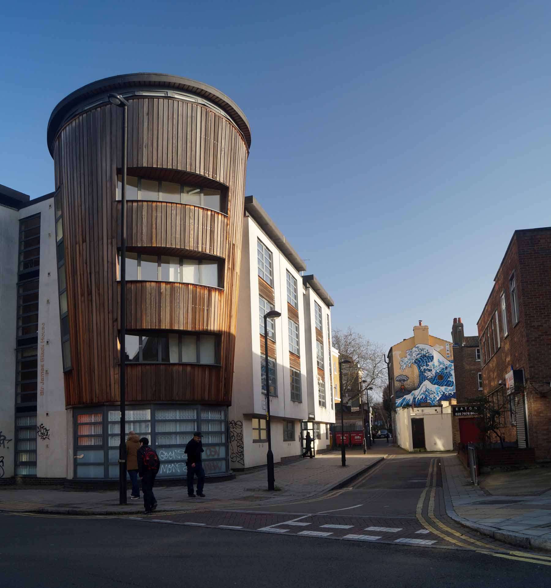
The entrance to Coldharbour Place.

A version of the Katsushika Hokusai’s 1831 wood block print. It first appeared in 1998 for the Camberwell Arts Festival, was almost lost permantly due to a fire in the Garages below in 2012. But luckily for us all it was repainted, in 2013 I think.
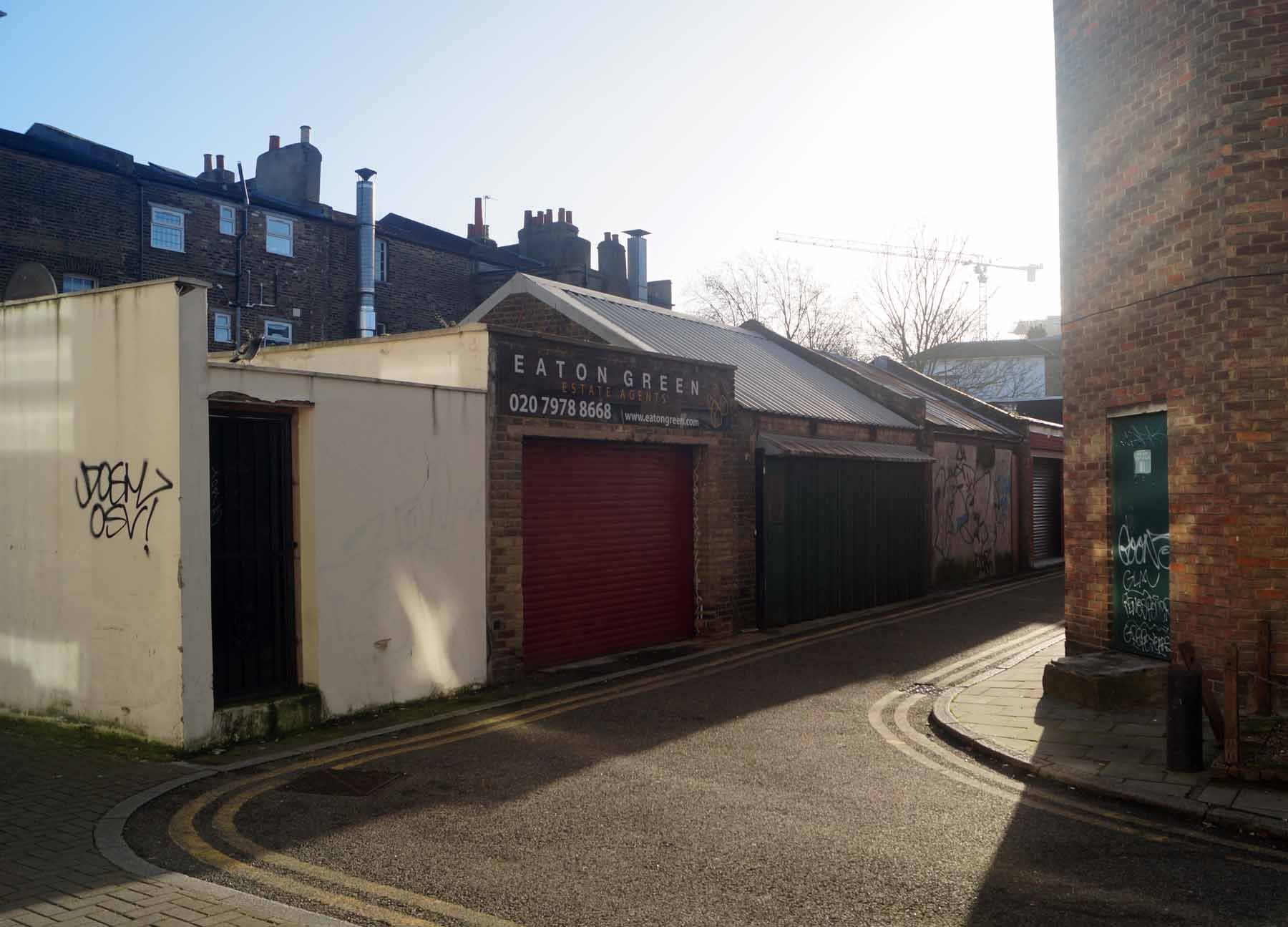
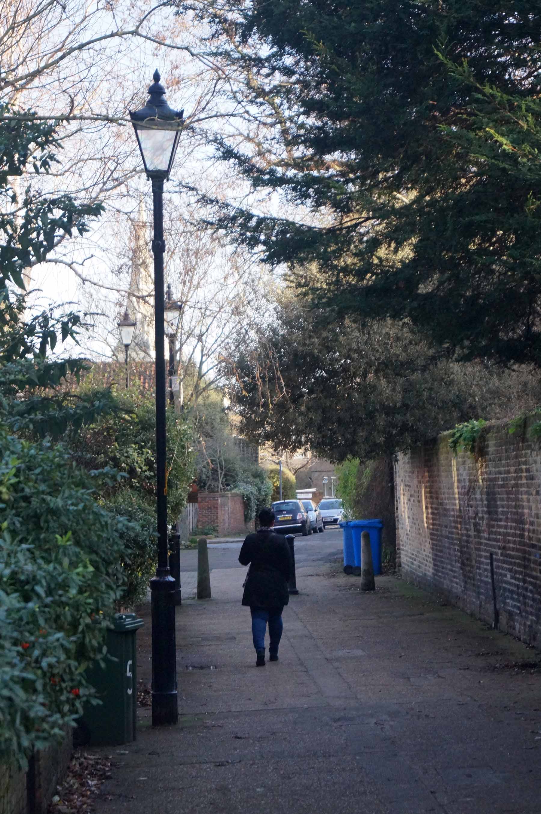
Garages running to the north off Coldharbour Passage.
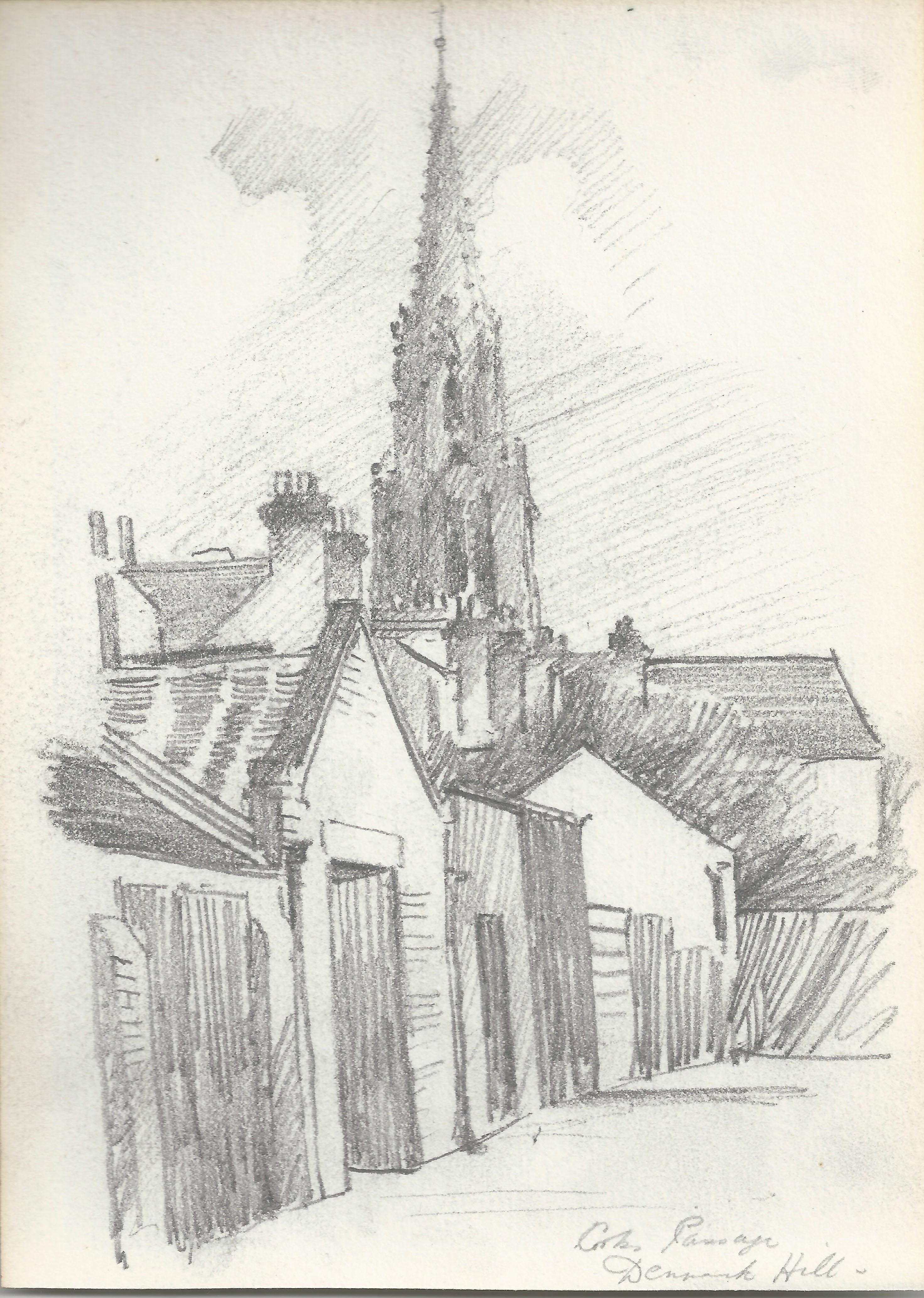
A pencil drawing by Ernest Sutton from 1907 showing the Garages with St Matthews Church on Denmark Hill in the background.

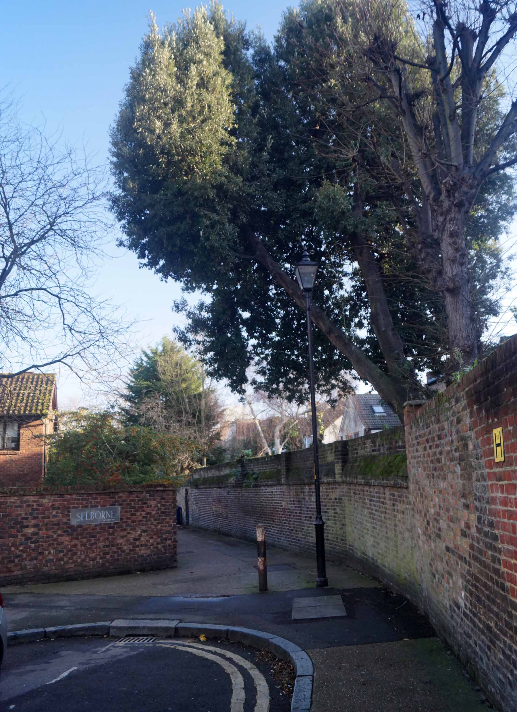
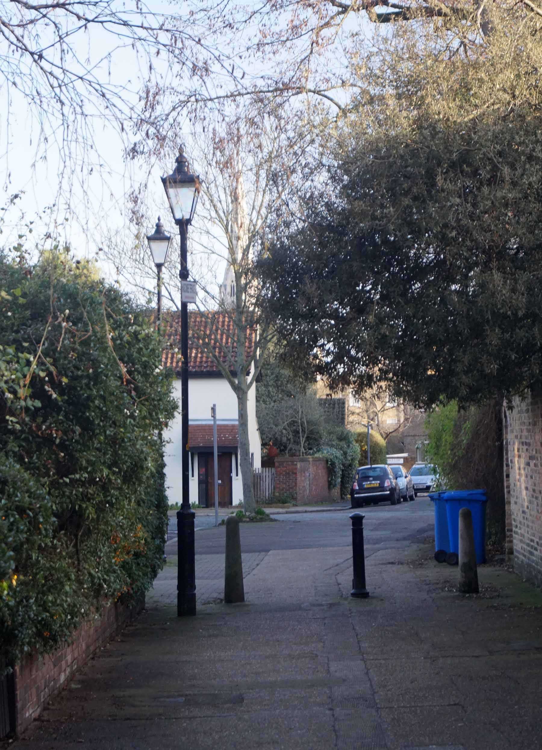
Across Denmark Hill into Love Walk.


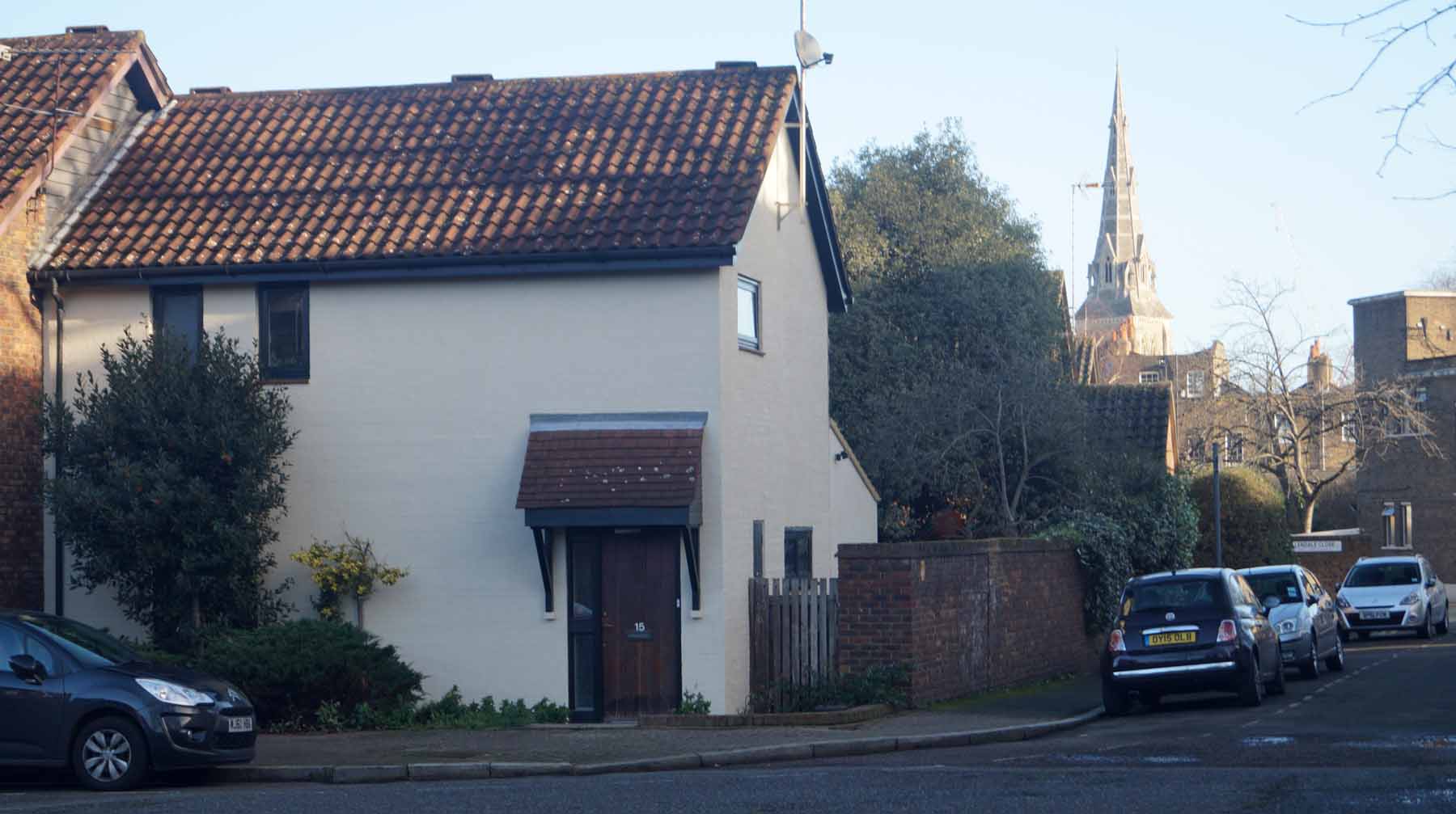


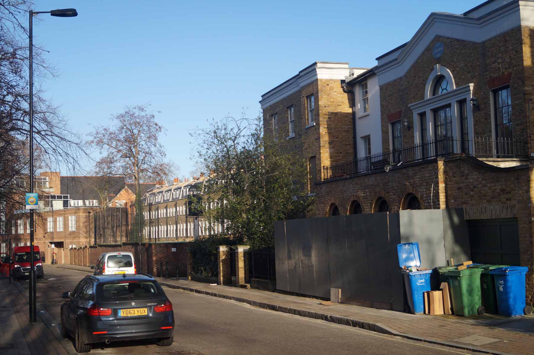
Looking down Grove Lane towards Camberwell.

At the end of this stretch is the Grand Union pub formerly the Grove Tavern.
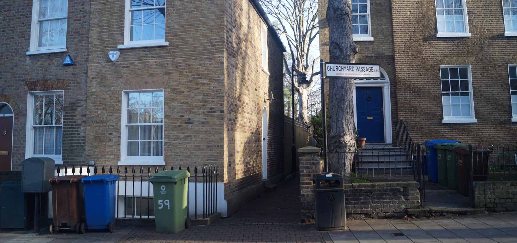
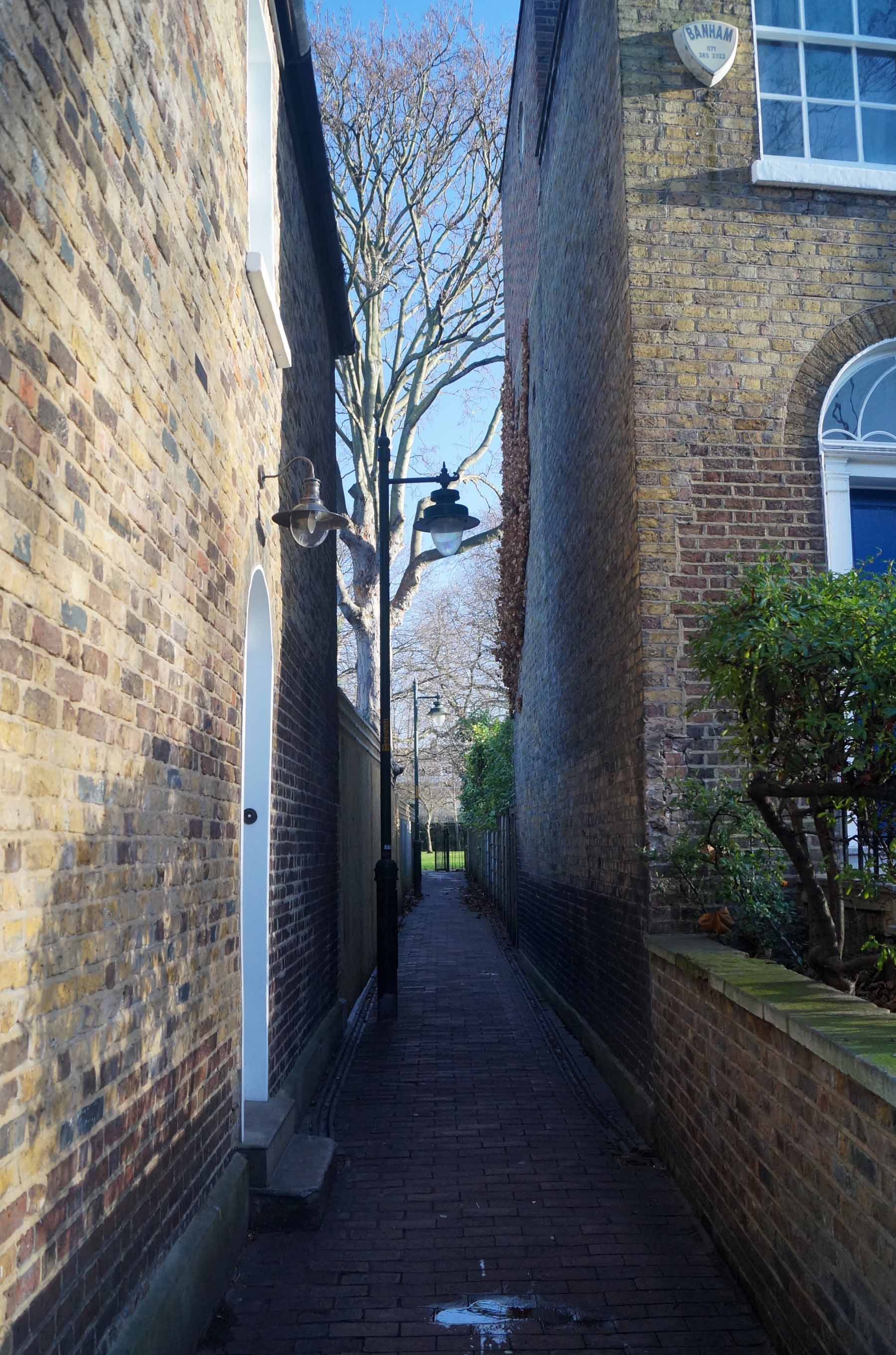
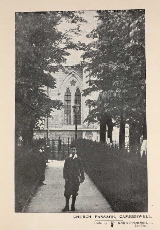
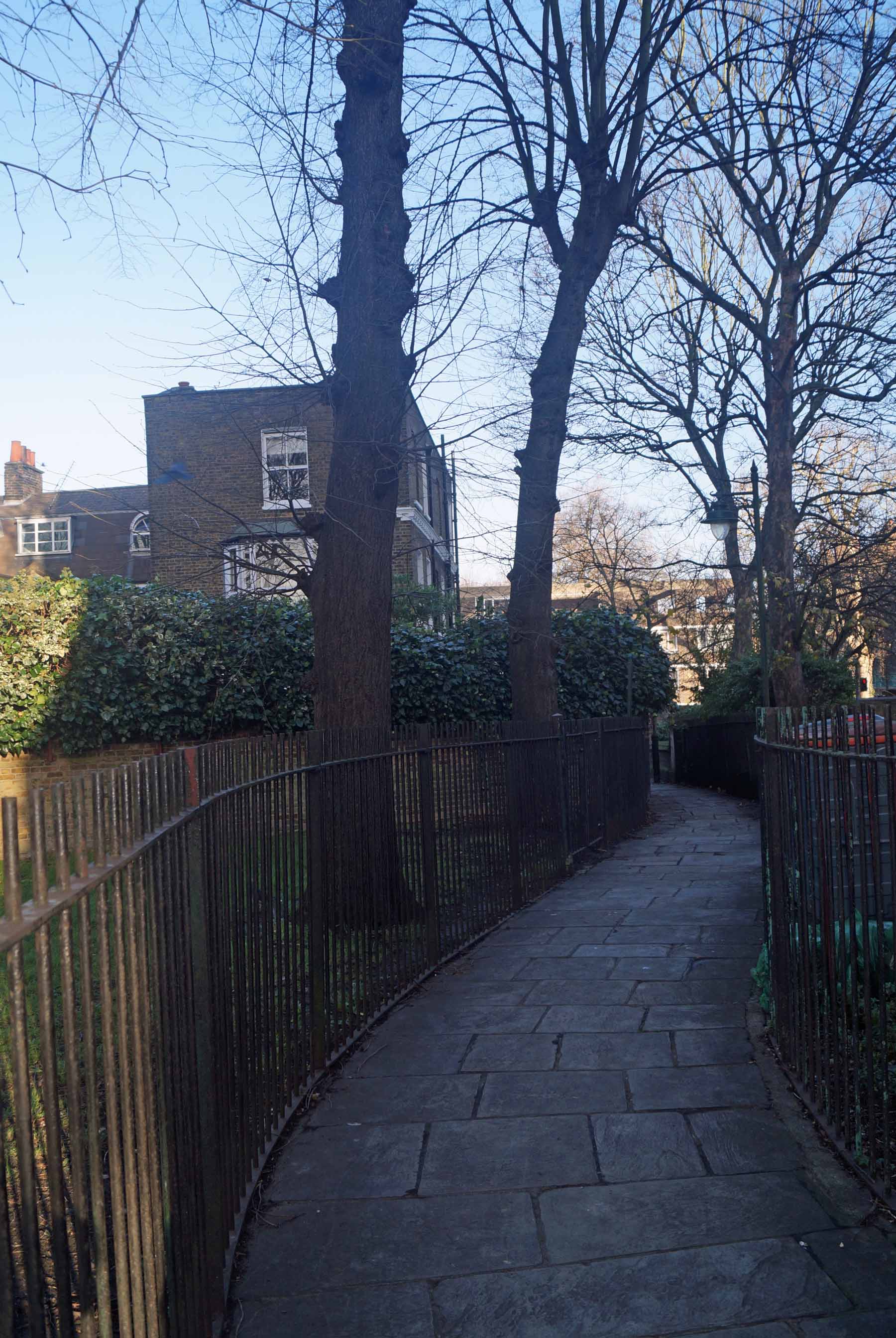
The path leading to St Giles Churchyard.

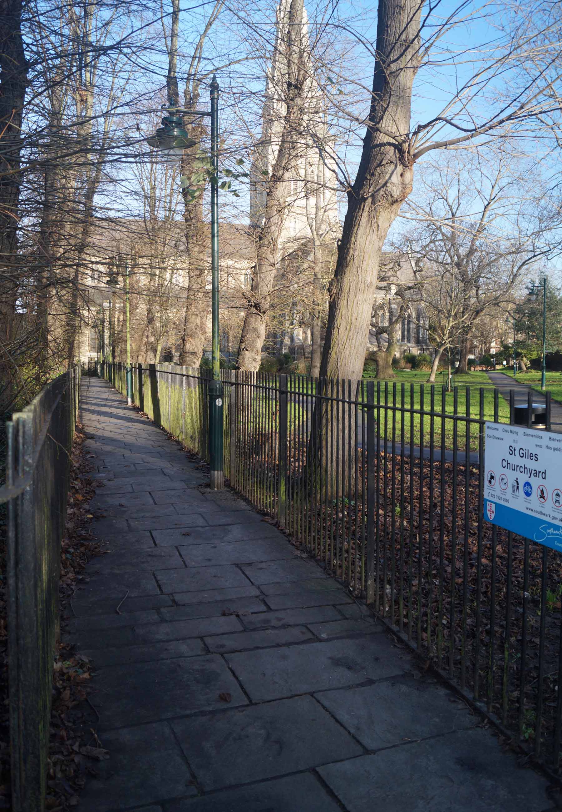
St Giles Churchyard is a beautiful quiet spot away from busy Camberwell.

A postcard showing Church Passage, Camberwell by Albert Flint, postally
dated 1904. And next, another photo c 1907

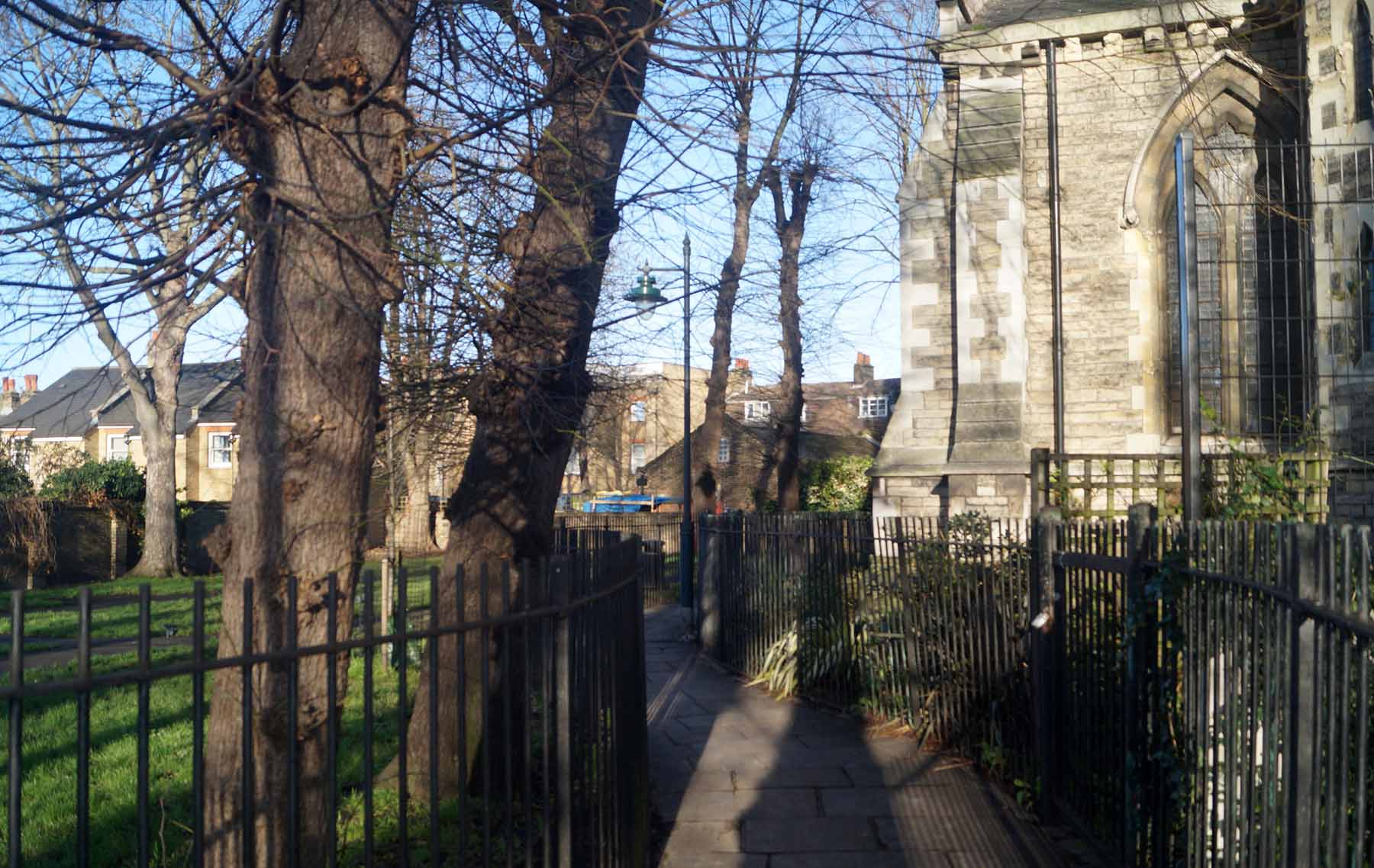


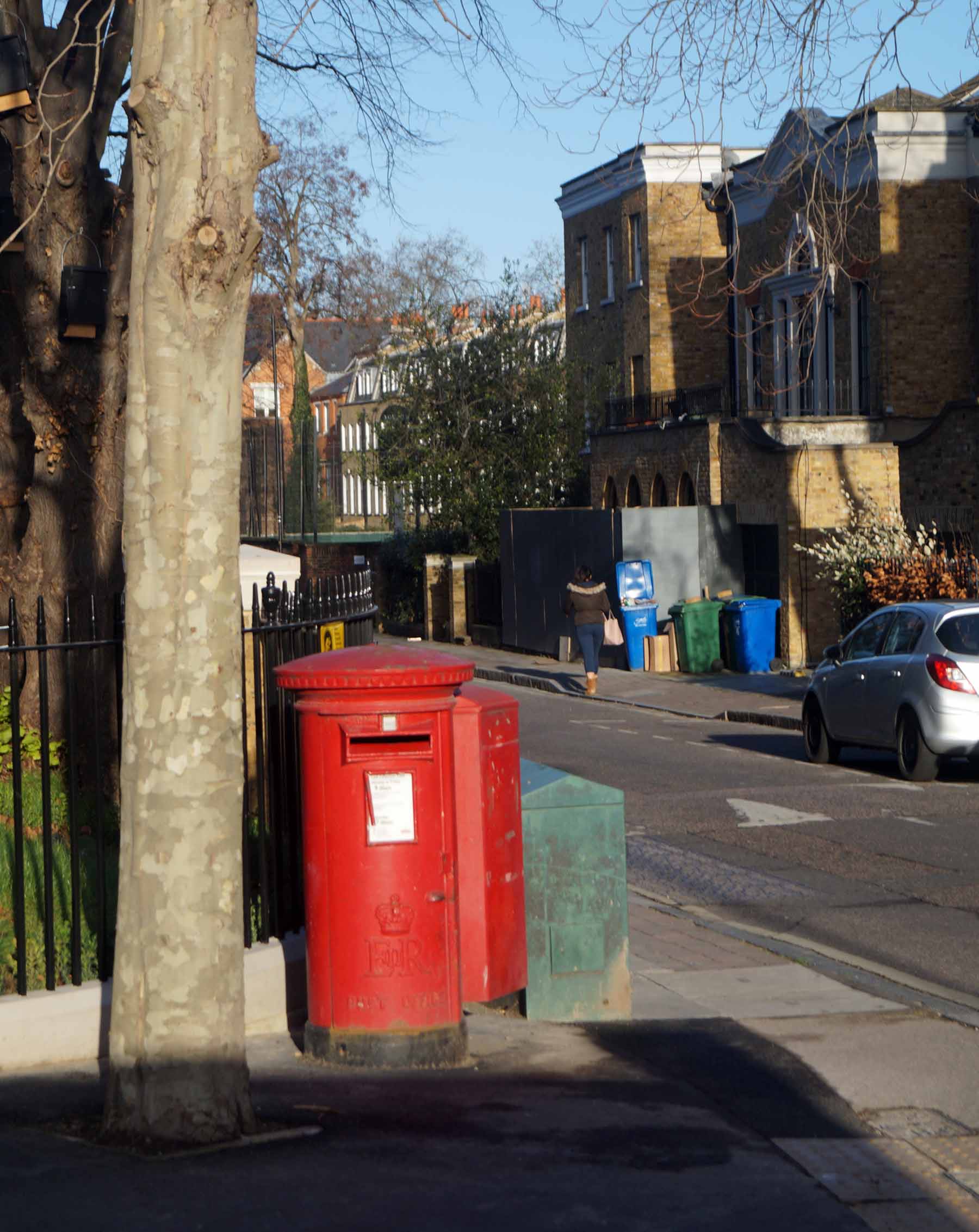
Looking onto Camberwell Church Street.

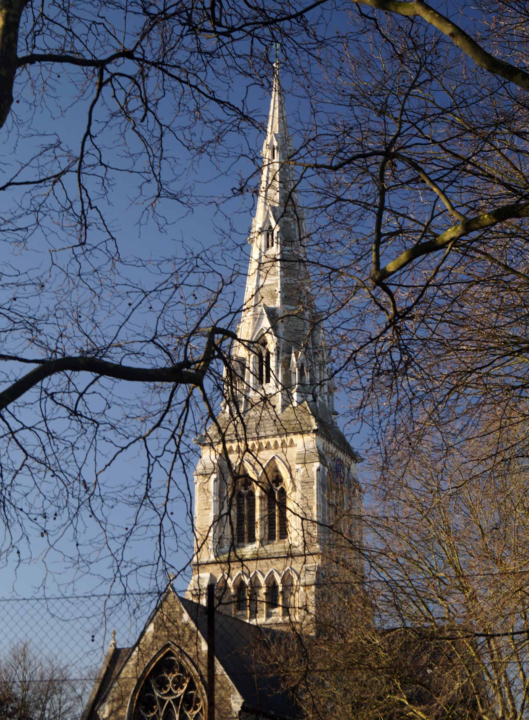

A lovely view of St Giles Church and the end of our walk.
Photos taken by Nick Stevens in January 2016. Here is a link to Nick’s website.
